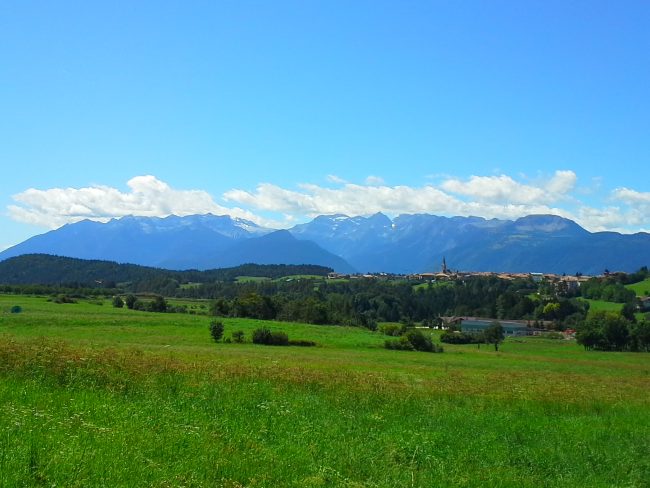
The Cycle Track Alta Val di Non is a beautiful 25 km long ring road connecting the towns of Malgolo, Romeno, Salter, Cavareno, Sarnonico, Ronzone, Malosco and Fondo.
The track runs mostly on asphalt roads and reaches a maximum height of 1,050 meters. It is therefore an easy excursion suitable for families as the uphill climbs are absolutely not demanding.
You can leave the car at Malgolo in a convenient parking near the first stretch of the bike path. Once on the bicycle, you can start pedaling along the SS43 along the route of the former Trento-Malè railway.
Few kilometers later, continuing on a slight ascent, you arrive at Salter. This small fraction is crossed by the bicycle track passing through the old town along its cobbled streets. Then turning north you reach Romeno, a village of about 1,400 inhabitants with numerous houses with typical alpine style.


After passing this last inhabited center, the track goes back to nature, among the cultivated fields of the village of Cavareno. The route also crosses the historic city center, but immediately dives back into nature.
So you meet the towns of Sarnonico, Ronzone and Malosco. At this point, the Cycle Track Alta Val di Non runs down to the village of Fondo, famous for the presence of a beautiful path in the local canyon.
Then the track goes south and finish. This last stretch is perhaps the most beautiful of the entire route because you are pedaling in the Pradiei area, an unspoilt stretch of flowery meadows near Romeno. From here you can return to the starting point, Malgolo.
