The route is completely downhill and is therefore also suitable for families with children who want to explore Tuscany on pedals. Along the river you cross the provinces of Arezzo, Florence and Pisa and you have the opportunity to visit many art cities.
The source of the Arno is placed at 1.400 m, but officially, the cycle track starts at Stia, a small village in Casentino. The path then runs at the foot of the Apennines, crossing numerous small hamlets of the territory towards Arezzo.
The valley is enclosed by mountains that sometimes come close to the bed of the river, as in Bibbiena.
Once you arrive at Castelnuovo, the mountains leave space to the plain of Arezzo. The river does not reach the city, but makes a wide turn that leads it to flow in the opposite direction to that of its initial course. Here begins the territory of Valdarno and the province of Florence.
Proceeding quickly you cross San Giovanni Valdarno, Figline Valdarno and Incisa Valdarno.
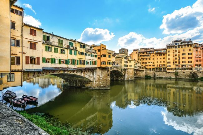
After a few miles, the Arno curves again moving westward and heading towards the sea. The bike path now leads to the heart of Florence, the capital of the region and one of the most beautiful art city in Italy.
After passing the city you go back to the countryside towards Empoli, a characteristic town surrounded by hills.
The last important stop before the arrival on the coast is the city of Pisa. Famous around the world for the presence of the leaning tower, the city also hides other treasures to be discover. You reach the sea at the height of Marina di Pisa and the Regional Park of San Rossore.
