Bicycle Route 76 is a cycling tour that crosses the United States from the west coast to the east coast. The route is over 6,800 km long.
It is a route for real cycling experts, accustomed to tackling at least 70 km every day, camping outdoors, challenging strong winds and adverse weather conditions.
Bicycle Route 76 can be traveled all year long, but the recommended period runs from May to September.
The official starting point for the route is the city of Astoria, Oregon. The initial section of the Bicycle Route 76 is fairly flat as it is pedaling along large river valleys. Short climbs, sometimes challenging, are however to be faced almost every day.

Passing the McKenzie Pass at 1,623 m you enter the state of Idaho. Then follow the course of the Salmon River and then the Lochsa River you enter in Montana at the Lolo Pass.
This state is also characterized by wide valleys and mountain ranges.
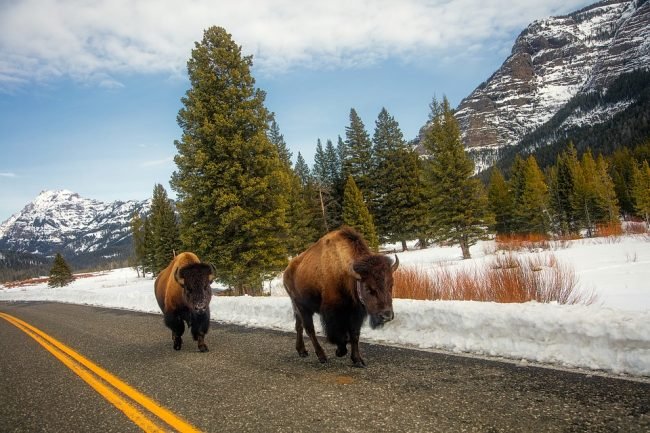
Continuing, you arrive at the heart of the Yellowstone National Park, Wyoming. The protected area deserves a thorough visit: it is perhaps the most impressive spot crossed by the path.
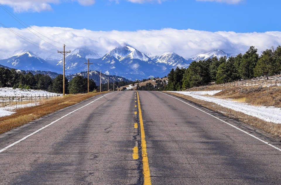
Once out of the park, you walk through a desert area and then go to the high peaks of the Colorado Rocky Mountains. In this state you find the highest point of the entire itinerary: 3,500 m.

The city of Pueblo marks the middle of the route. Later, let’s leave the Rocky Mountains massive behind to start riding on the great Kansas plains. Some modest reliefs are also found in the state of Missouri, but from now on you will always cycle on hills or in the plain.
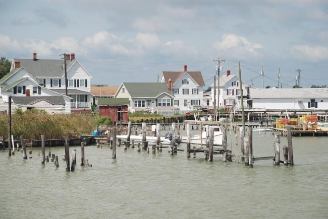
You ride across Illinois and Kentucky, so you enter Virginia. Bicycle Route 76 ends in the town of Yorktown at the Cheasapeake Bay overlooking the Atlantic Ocean.
